Executive summary
Castries is simultaneously the capital, the country’s largest population district, a national transport and commercial hub, a tourism gateway and a low-lying urban system exposed to intense rainfall and tidal interaction. A World Bank assessment places the district population near 65,600; about 36% of Saint Lucia’s population, and identifies clogged drains, blocked trash screens, constrained culverts, impervious surfaces and tidal backwater as linked flood drivers.
A US$25 million Urban Resilient Flood Investment Project became effective in December 2025. By 2031 it targets 66,400 beneficiaries, 7,500 hectares with improved drainage, risk-informed strategies, climate-resilient engineering designs and improved early-warning systems. That is a powerful implementation platform, but drainage works alone cannot produce a renewed capital.
SLPA proposes a Castries Blue-Green Renewal Compact: manage flood resilience, public space, markets, streets, vacant and public buildings, mobility, housing and the port interface as one city portfolio, with a small delivery office, public investment map and funded maintenance standard.
Developed from a Castries North data dossier and Saint Lucia infrastructure intelligence dashboard. Population, flood-risk and project claims were independently checked against Census and World Bank records in July 2026.
Key findings
Flood risk reflects drainage, waste, land use and maintenance.
Hydrology meets solid waste, maintenance, land cover, culvert capacity, road design, building control, warning systems and tidal conditions. Capital works must be paired with daily drain and trash-screen operations and clear maintenance ownership.
Evidence-led findingCapital projects need one shared schedule.
Port, justice, market, road, housing and drainage works affect movement, contractors, utilities and public confidence. A single spatial programme can sequence disruption, share surveys and prevent one project from undoing another.
Evidence-led findingBlue-green design can improve drainage and daily life.
Water storage, restored channels, shade, permeable surfaces and safer public spaces can reduce heat and flood risk while improving walking, commerce and urban dignity. The design test should include maintenance and public use, not engineering capacity alone.
Evidence-led findingNeighbourhood data should guide investment.
National indicators can hide local stress. Privacy-safe Census, hazard, service, transport and project data should be joined at appropriate small-area scales so the capital’s investments are targeted and their distribution is visible.
Evidence-led findingScale of the active platform
The 2031 project target covers roughly the Castries district population.
thousand peoplePopulation and beneficiary figures come from different World Bank documents and geographies; this is a scale comparison.
Use this data
Copy the visible figures or download them with the unit, claim label and method note attached.
SLPA policy proposal
Castries Blue-Green Renewal Compact
Use the active flood-resilience investment as the spine of a single, sequenced capital-city portfolio that joins infrastructure, public space, economic life and maintenance.
One Castries delivery team
Create a small cross-agency team with authority to maintain the spatial programme, resolve dependencies and publish decisions, without replacing the agencies that own delivery.
A public map of projects and disruptions
Show every major work package, owner, budget, procurement stage, traffic or business impact, utility conflict, completion gate and maintenance handover.
Streets designed for water, shade and walking
Combine drainage capacity with retention, shade, permeable surfaces, safe walking, public-space renewal and designs that sanitation teams can maintain.
Markets, buildings and housing as resilience assets
Retrofit priority public buildings, bring safe upper floors and vacant sites into use, improve markets and enable mixed-income infill near jobs and transport.
Fund maintenance before assets open
Assign drain, trash-screen, pump, street-tree and public-space standards with route schedules, service logs and ring-fenced operating resources before new assets open.
Delivery sequence
Create one citywide project plan
- Publish the first map of active and planned capital works, flood assets, utility conflicts and public disruption.
- Complete a drain, trash-screen, culvert and pump maintenance baseline with named operational owners.
- Select two demonstration corridors where flood, walking, public-space and business needs can be designed together.
Deliver two visible corridors and track maintenance
- Coordinate early flood-project packages with utilities, street works, markets and public-realm improvements.
- Publish early-warning coverage, drainage work and maintenance service levels by safe reporting area.
- Launch an adaptive-reuse and mixed-income infill pipeline for suitable public and vacant sites.
Meet 2031 flood targets and improve daily city life
- Deliver the 66,400-beneficiary and 7,500-hectare project targets with independent verification.
- Complete the capital’s priority blue-green network and preserve a maintenance performance history for every asset.
- Evaluate distributional outcomes: whose travel, flood exposure, housing access and commercial opportunity improved.
Public accountabilityMeasures for public accountabilityQuarterly operating signals and one independently reviewed annual outcome report.4 measures
Connects construction to the programme’s stated climate outcome.
Makes maintenance visible before the next storm.
Measures experienced disruption, not infrastructure volume.
Tests whether resilience improves daily city life.
04Limits, uncertainty & sources3 limits · 4 sources
Limits of this analysis
- The US$25 million, 66,400-person and 7,500-hectare figures are programme financing and future targets; they are not completed outputs.
- The Castries district population estimate and the project beneficiary geography are not identical and should not be used to calculate exact coverage.
- Local operational data for Castries North remain preliminary; public claims in this brief rely on independently accessible primary sources.
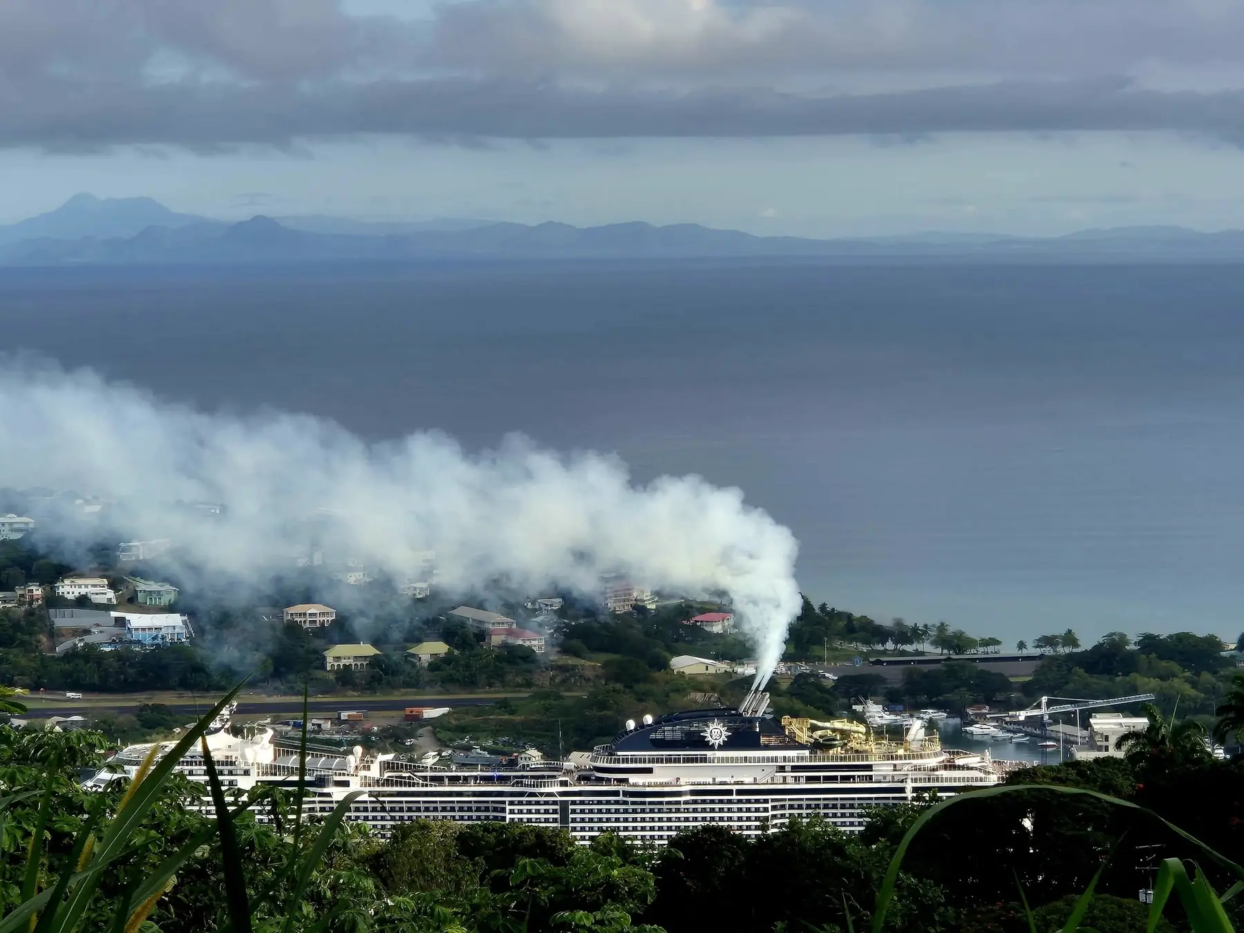
Photographs identify place and activity. Findings come from the cited records.